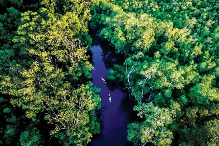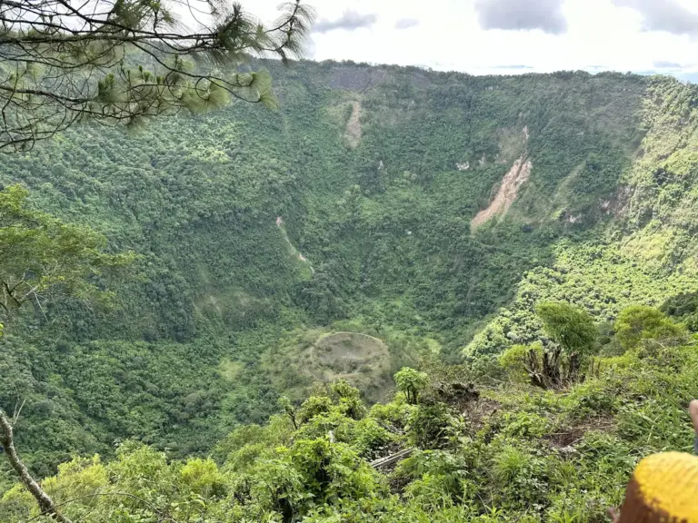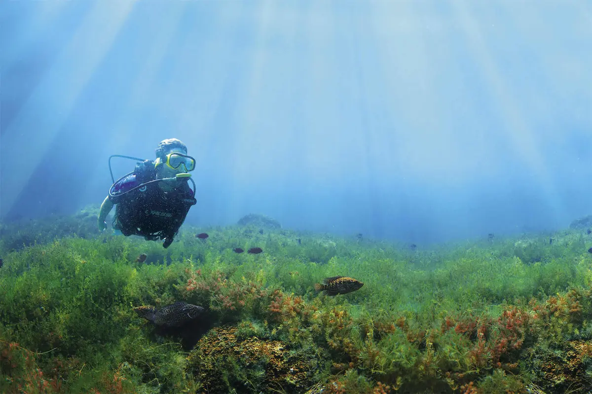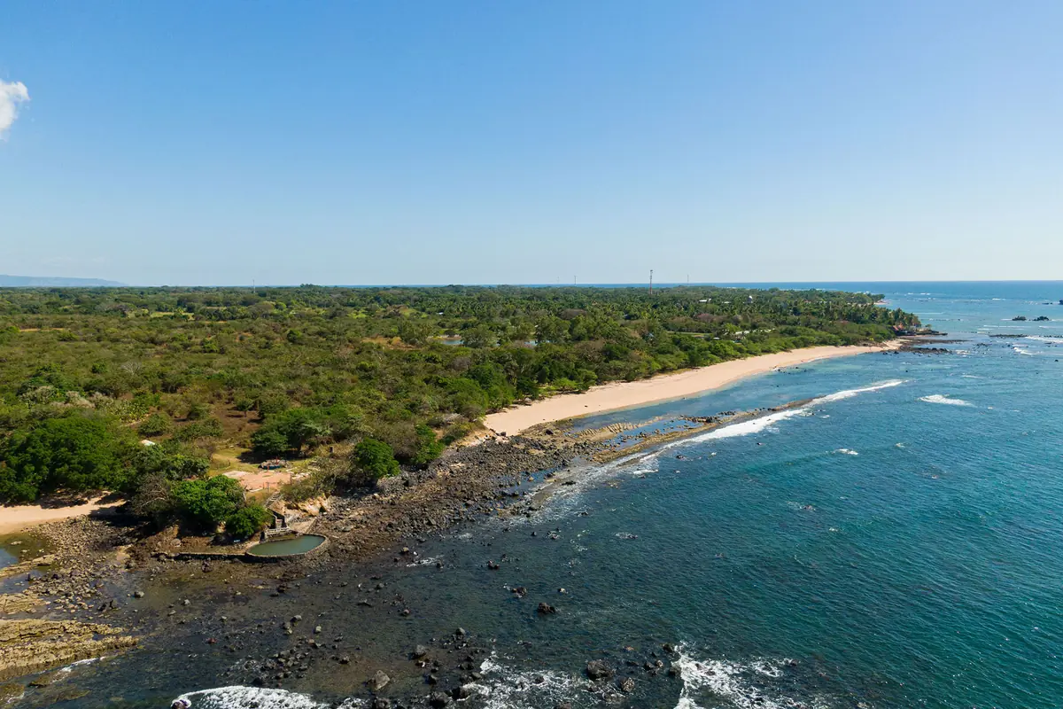
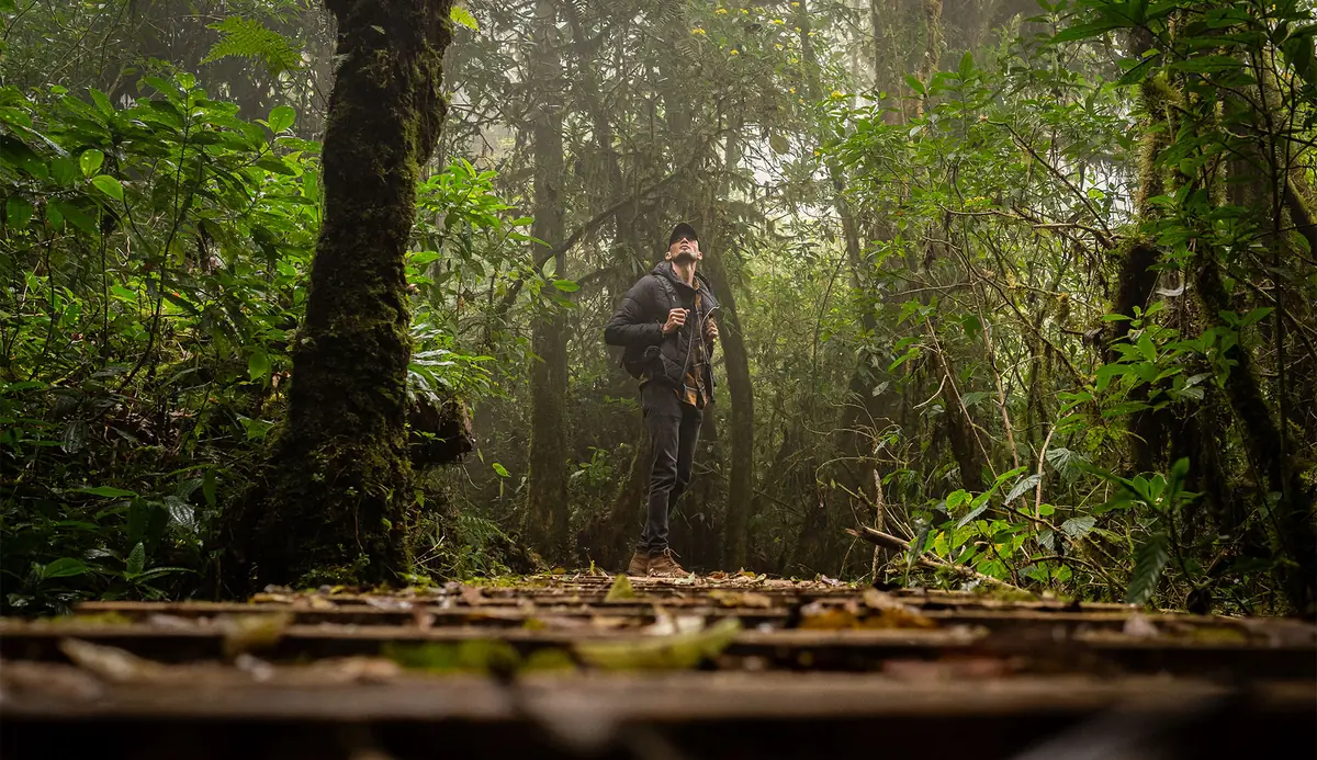
Montecristo National Park (Parque Nacional Montecristo) is El Salvador’s first protected natural area, a 4,875-acre cloud forest in the mountains above Metapán, in Santa Ana department. Its high point, Punto Trifinio at 7,933 feet, is where El Salvador, Guatemala, and Honduras meet. You need an advance permit from the environment ministry to enter, a 4×4 to reach the upper park, and the summit trail is closed every year from May 1 through October 31.
One quick clarification, because search results mix them up constantly. This is not Montecristo Island off the coast of Tuscany, the one from Dumas. This is a Central American cloud forest roughly 73 miles northwest of San Salvador, and almost nobody outside El Salvador has heard of it.
Is Montecristo National Park worth visiting?
Yes, if you want a genuine cloud forest with almost no crowds and you’re willing to handle the paperwork. Montecristo is El Salvador’s only true cloud forest, it holds more than 250 bird species including the Resplendent Quetzal, and you can stand in three countries at once at the summit. Plan on a permit, a 4×4, and a full day minimum.
It’s a poor fit for a few types of traveler. If you want to pull into a parking lot and walk to a viewpoint, this isn’t that. There’s no restaurant, no gift shop, no cell signal, and no medical station. Families with small kids will find the road up rougher than the hike. And if you only have one nature day in El Salvador and you’re based near San Salvador, Cerro Verde and the Santa Ana Volcano are far easier logistically, while El Imposible in the southwest is the better call if you want dry tropical forest and a shorter drive from the coast.
Montecristo earns the effort in a way those two don’t, though. Cerro Verde gets tour buses. Montecristo caps daily visitors, and on a weekday in the dry season you can hike for hours without passing anyone.
Montecristo National Park at a glance
| Official name | Parque Nacional Montecristo |
| Location | Metapán, Santa Ana department, northwestern El Salvador |
| Distance from San Salvador | About 73 miles (117 km) |
| Size | About 4,875 acres (1,973 hectares) |
| Elevation range | About 2,600 to 7,933 feet (800 to 2,418 m) |
| Highest point | Cerro Montecristo / Punto Trifinio, 7,933 feet |
| Established | Declared a protected area in 1987 |
| Managed by | MARN, the Ministry of Environment and Natural Resources |
| Larger designation | Part of the Trifinio Fraternidad Transboundary Biosphere Reserve |
| Nearest town | Metapán, about 40 minutes from the park entrance |
| Advance permit | Required |
| Vehicle | 4×4 required above the entrance gate |
| Currency | US dollar, cash only at the gate |
| Cell service | None inside the park |
Where is Montecristo National Park?
The park sits in the far northwest corner of El Salvador, north of Metapán, pressed against the Guatemalan and Honduran borders. It anchors the Salvadoran third of the Trifinio Fraternidad Transboundary Biosphere Reserve, a tri-national conservation area shared with Guatemala’s Trifinio and Honduras’s Montecristo sectors.
The geography is the whole point. Three national borders converge at a single marker on the ridge, and the cloud forest that straddles them survives precisely because it’s inconvenient to reach from any of the three capitals.
Why this cloud forest is different
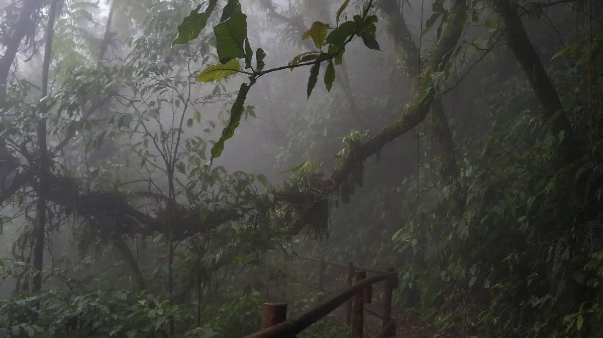
El Salvador is a small, densely populated, heavily deforested country. Montecristo is the exception. It was the first place the government protected, and the upper forest has never been logged, so you get trees over 700 years old reaching close to 100 feet, trunks wrapped in bromeliads, and a canopy that stays wet from cloud contact even when the lowlands are parched.
Roughly 70 percent of El Salvador’s orchid species grow here. The forest floor holds ferns that have been there since before the Spanish arrived. It’s a small park by international standards, but the ecological density is remarkable for a country this size.
Do you need a permit for Montecristo National Park?
Yes. Every visitor needs an advance permit from MARN, requested before you travel. There’s no walk-up entry. Download the entry form from the ministry’s website, fill in the full visitor list, and email it to the protected areas office. Historically the request has needed to arrive at least 48 hours ahead, and the park caps daily admissions at roughly 100 people.
Here’s the process in practical order.
Start on the MARN website (ambiente.gob.sv) and find the downloadable form titled Formulario de ingreso Parque Nacional Montecristo. It is periodically reissued, so grab the current version rather than a PDF someone linked in a blog post three years ago.
Fill it out with every person in your group listed by name and ID or passport number. Flag any minors and anyone over 60, since both categories affect the fee. Then email the completed form to the protected areas address at [email protected]. A number of guides and even some official-looking pages still list an older address at marn.gob.sv, which is a common reason travelers never hear back. You can also submit the form in person at MARN’s central offices in San Salvador if you’re already in the country.
Camping and cabin reservations go through the same electronic channel, not through a separate booking site. Phone numbers published by MARN for the protected areas unit have included 2132-6276, 2123-6220, 2123-6239, and 7850-9056.
Two things to brace for. Correspondence is in Spanish, and replies are not instant. If you don’t have working Spanish, write the email in Spanish anyway, keep it short, and attach the form rather than describing your request in the body. Second, confirm rather than assume: an emailed form is a request, and it isn’t a reservation until MARN says so.
Fees, hours, and the permit channel all change. Verify against MARN directly in the week before you travel.
Entrance fees and what they cover
| Visitor type | Fee |
|---|---|
| Salvadoran national | $3 |
| Foreign visitor | $6 |
| Student with Salvadoran ID | $0.50 |
| Other students | $1 |
| Children under 12 | Free |
| Adults over 60 | Free |
| Camping, per person | $3 to $6 |
| Cabin (sleeps about 8) | Around $40, though some sources quote closer to $70 |
| Parking, light vehicle | $1 |
| Parking, heavy vehicle | $2 |
El Salvador uses the US dollar, which removes one layer of trip friction for American travelers. Park fees are cash only, and the gate does not make change for large bills. Bring ones and fives.
Booking through a tour operator versus going it alone
Operators based in Santa Ana, Metapán, and San Salvador run Montecristo trips, and several specialize in it. What you’re paying for is the permit handled on your behalf, a driver with a vehicle that can actually make the climb, and someone who knows before you leave the hotel whether the park is open that morning.
Doing it yourself is cheaper and gives you your own schedule, which matters if you’re birding and want to be at Los Planes before dawn. The trade-off is that you carry the risk of a permit going unanswered, a rental car that isn’t a real 4×4, or a closure you find out about at the gate.
A middle path works well for a lot of visitors: handle the permit yourself, then hire a pickup and driver in Metapán for the road up.
When is Montecristo open, and when does it close?
The lower park operates year-round, but Punto Trifinio and the high cloud forest close every year from May 1 through October 31 for wildlife breeding season. Camping areas, the colonial hacienda, and the lower viewpoint trails generally stay open. Heavy rain can close the entire park with no notice and no announced reopening date.
The breeding-season closure
This one is predictable and non-negotiable. The veda, or closed season, runs the full wet season and covers the summit trail and the highest-altitude forest. Los Planes access is also restricted during this window in some years, which is why sources disagree about exactly what remains open.
What that means in planning terms is simple. If the El Trifinio hike is the reason you’re going, you have a November through April window and nothing else. Frommer’s lists the Los Planes cloud forest as open November 1 through April 30. Lonely Planet describes the closure as running May through November, which is a month longer on the back end than MARN’s stated dates, so build in a buffer if you’re planning for early November.
Weather closures happen more than you’d expect
Rain shuts this park down. Landslides on the access road are the usual cause, and MARN has repeatedly closed all of its protected areas at once during tropical storms, reopening some within a week while leaving Montecristo shut for longer because the road takes more damage.
That pattern goes back years. In 2018 the park closed after 11.4 inches of rain triggered landslides. More recently, the whole park has closed during rainy-season storms with no fixed reopening date announced, and there has been at least one October when Montecristo stayed closed after other Salvadoran parks had already reopened.
Check MARN’s site and social channels the day before you go. If you’re traveling in the shoulder months, have a Plan B in your pocket.
Opening hours
Sources conflict here, and it’s worth knowing that going in.
El Salvador Travel, the national tourism board, publishes entry between 7:00 and 11:00 a.m., cabin check-in from noon, and departure toward Metapán at 3:00 p.m. MARN has separately described a general 7:30 a.m. to 3:30 p.m. schedule. Lonely Planet and Frommer’s both say gates open around 7:30 a.m., the Trifinio hike starts around 8:30, and everyone should be heading down before 3:00 p.m.
The practical read: arrive by 7:30 a.m., start hiking by 8:30, and plan to be off the mountain by 3:00. Whatever hours appear on your permit confirmation are the ones that govern your visit.
Best time to visit Montecristo National Park
The dry season, November through April, is the only window when the full park is accessible. December and January are the sweet spot: the rains have just ended, the forest is still saturated and green, and the summit trail is open.
| Period | Conditions | Punto Trifinio | Worth knowing |
|---|---|---|---|
| November | Rains ending, forest at its greenest | Reopens Nov 1 | Road may still be soft early in the month |
| December to January | Dry, clear, coldest nights | Open | Best overall conditions, busiest weekends |
| February to March | Dry and settled | Open | Reliable hiking weather |
| April | Driest and warmest, hazier air | Open | Dusty road, agricultural burning haze possible |
| May to June | Rains begin | Closed | Lower park open but weather closures start |
| July to August | Mid-season break in the rains | Closed | Unpredictable |
| September to October | Wettest months, landslide risk | Closed | Full-park closures most likely |
For birding specifically, aim for early morning regardless of month. Quetzals concentrate in the wettest, coolest high forest, and activity drops sharply once the sun is up and the mist burns off.
How to get to Montecristo National Park
From San Salvador
Budget about 2.5 hours of driving, though some travelers report closer to 3.5 or 4 depending on traffic leaving the capital and how long the final dirt section takes. Head northwest toward Santa Ana, then continue to Metapán. From Metapán, it’s another 10 to 12 miles north on a rough dirt road to the park entrance, roughly 40 minutes.
From Santa Ana and Metapán
Santa Ana to the entrance is about 1.5 hours. If you’re using public transport, the route 239 bus runs from Santa Ana to Metapán roughly hourly, takes about an hour, and costs under $2. No bus goes any farther than Metapán.
From the entrance gate, it’s another 45 minutes to 1.5 hours to climb to Los Planes, depending on road conditions and your vehicle.
| Starting point | Distance | Time to entrance | 4×4 needed |
|---|---|---|---|
| San Salvador | About 73 miles | 2.5 to 4 hours | Yes, above the gate |
| Santa Ana | About 40 miles | 1.5 hours | Yes, above the gate |
| Metapán | 10 to 12 miles | About 40 minutes | Yes, above the gate |
Why you need a 4×4
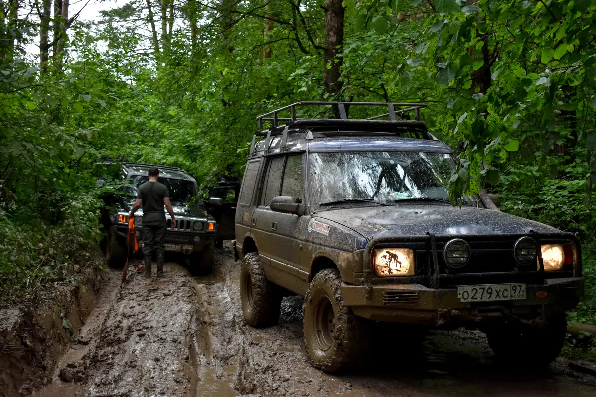
The road from the entrance up to Los Planes is steep, rutted, and unpaved, and the park does not allow visitors to walk up it. That rule surprises people, and it’s enforced. A sedan or a soft crossover will not make it, and rental agencies in San Salvador will not always tell you that.
If you don’t have a proper high-clearance 4×4, hire one in Metapán. Drivers with pickups run round-trip transfers from town, with quoted prices ranging from about $55 up to $100 depending on the source and the season. Lonely Planet cites $80 to $100. Frommer’s quotes around $55. Negotiate before you get in.
There is no cell signal anywhere in the park, so download offline maps before you leave Metapán and agree on a pickup time with your driver in advance.
Visiting without your own vehicle
It’s entirely doable. Take the bus or a shuttle to Metapán, stay the night, arrange a pickup driver through your hotel, and go up early. Metapán hotels are used to this request and can usually connect you with someone who has made the drive a hundred times.
Things to do in Montecristo National Park
Hiking to El Trifinio
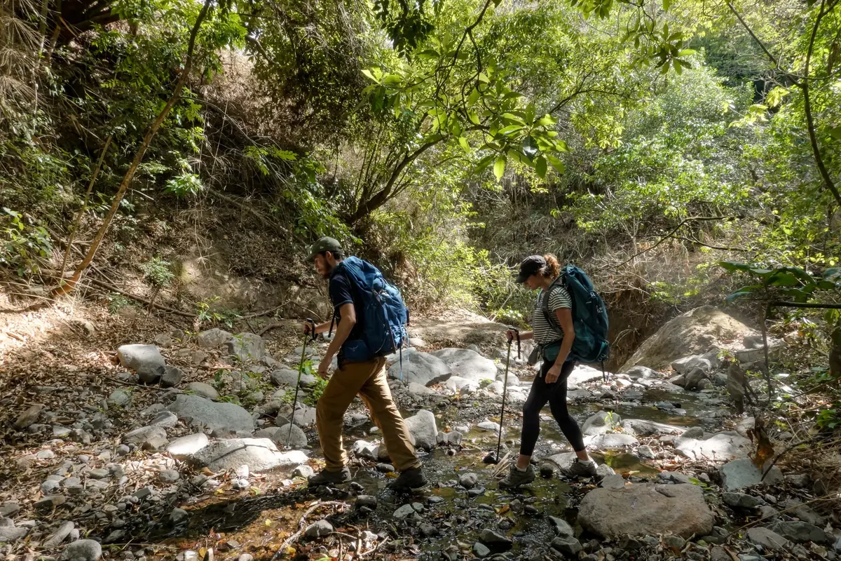
This is the marquee hike. From Los Planes it’s roughly 4.3 miles each way to the tri-border marker, with some sources describing the full route as about 5.6 miles round trip depending on where you start. Allow 4 to 5 hours. The grade is steady rather than brutal, and the difficulty is moderate, but you’re climbing to 7,933 feet and the trail is often slick with mud.
The transition is the best part. You start in relatively open pine and oak, and as you gain elevation the forest darkens, the air cools, moss thickens on every surface, and the canopy closes overhead. By the time you reach the ridge you’re in a different ecosystem entirely.
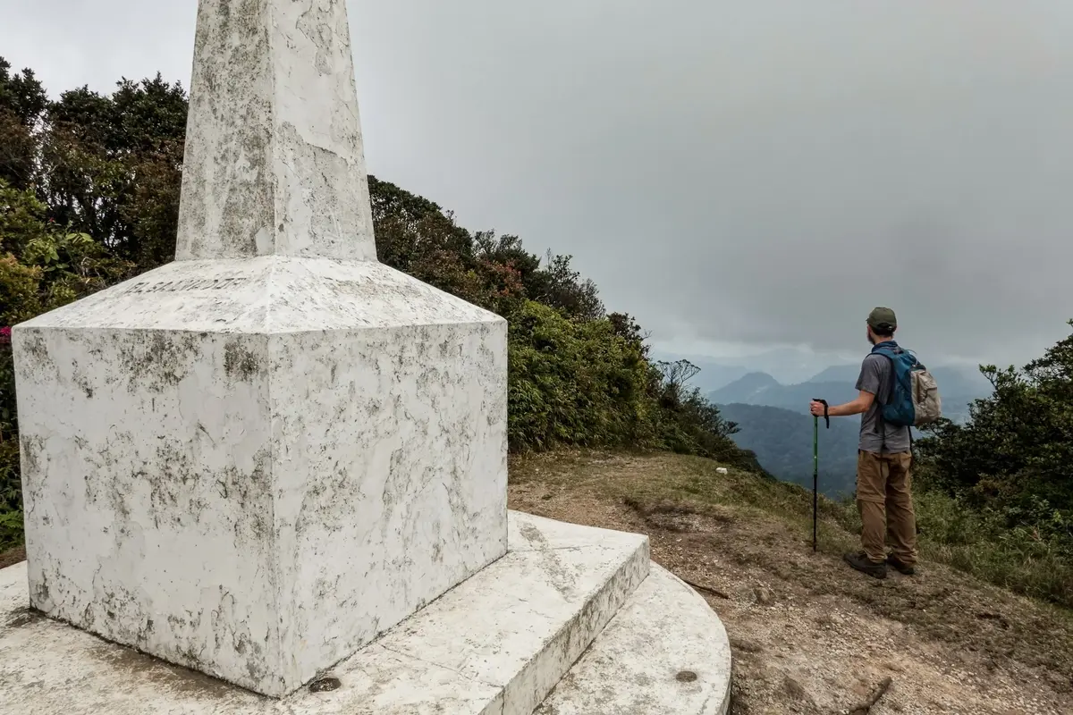
At the top there’s a marker where the three borders meet. You can stand with one foot in El Salvador, one in Guatemala, and reach into Honduras. Carry your passport or ID, since you’re technically at an international boundary.
Start early. Rangers want you heading down by 3:00 p.m., and the last thing you want is to be on a wet descent in fading light.
Los Planes
Los Planes is the flat grassy clearing that serves as the park’s base area, sitting around 6,000 feet. The campsite is here, along with the orchid garden and several shorter trails. It’s also where the temperature will genuinely surprise you at dawn.
Jardín de los Cien Años
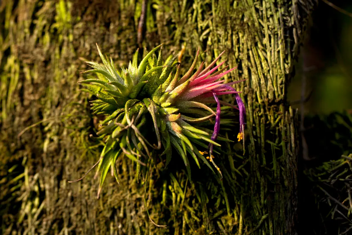
The Garden of 100 Years holds more than 70 orchid species, along with bromeliads, ferns, and hydrangeas. Because those 70-plus species represent roughly 70 percent of El Salvador’s orchid diversity, this small garden is effectively a national collection.
Somewhere in it you’ll find the Árbol del Amor, a tree that has grown into a shape locals read as an embrace. It’s the most photographed thing in the park after the border marker.
The colonial hacienda and interpretation center
The Casco Colonial dates to 1783 and is designated National Cultural Heritage. It now houses an interpretation center covering the park’s ecology and the history of the estate that predated the protected area. Worth 30 minutes, especially if the weather turns.
Waterfall, cold pools, and suspension bridges
A short trail network in the lower park leads to a waterfall with pools cold enough to make swimming a very brief decision, crossed by suspension bridges. This section stays open year-round, which makes it the fallback when the summit is closed.
Wildlife and birding in the cloud forest
Birdwatching
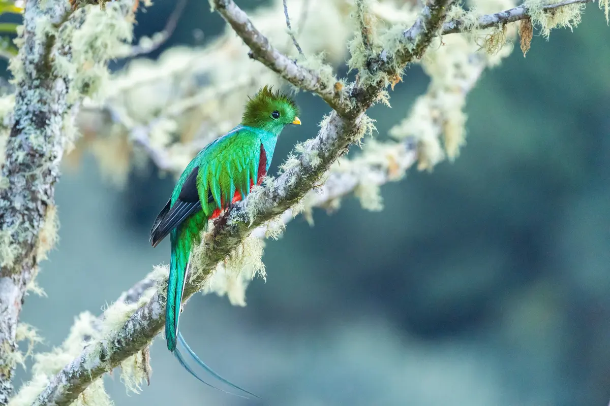
More than 250 bird species have been recorded here, with some counts running closer to 275. For visiting birders the headline is the Resplendent Quetzal, which according to Fat Birder can be found fairly easily at Montecristo. That’s a meaningfully different proposition from Costa Rica’s Monteverde, where quetzal sightings often come with a queue.
The regional specialties matter as much. Fulvous Owl and Blue-throated Motmot are both realistic here, along with Wine-throated Hummingbird and Emerald Toucanet. El Salvador’s national bird, the Torogoz (Turquoise-browed Motmot), is more a lowland species and shows up at lower elevations rather than in the high cloud forest.
Hire a local guide. The birds are here, but finding them in dense wet forest at 6,000 feet without someone who knows the calls and the fruiting trees is a long morning of hearing things you can’t see.
Mammals and other wildlife
Pumas live in the park, though sightings are rare. Spider monkeys, agouti, collared peccaries, white-tailed deer, porcupines, and coyotes are all present, along with roughly 50 species of reptiles and amphibians. Dawn and the hour before dusk are when you have a real chance at anything larger than a squirrel.
The forest itself
Trees exceeding 700 years old reach close to 100 feet, and the elevation gradient stacks several forest types on top of each other across a small footprint. Cloud contact does the work here: the trees intercept moisture directly from the mist, which is why everything is coated in epiphytes and why the ground stays damp through the dry season.
Yes, it gets cold
Temperatures at elevation typically run between 43°F and 64°F, and the highest point can approach freezing on winter nights. Climate normals recorded at Planes de Montecristo put mean daily highs around 68°F to 73°F.
American visitors consistently underestimate this. You are in Central America, seven degrees off the equator, and you will be cold. If you camp at Los Planes in January without a real sleeping bag, you will not sleep. Even day hikers should carry a warm mid-layer, because the summit ridge is windy and you’ll be damp from the humidity long before you get there.
Rain is possible in any month, and in the cloud forest “possible” means “assume it.”
What to pack
- Warm mid-layer and a hat. This is the item people skip and regret.
- Waterproof rain shell. Ponchos are not enough in wind.
- Sturdy waterproof hiking boots with real tread. Trails are muddy and rooted.
- At least half a gallon of water per person. There is no water for sale.
- Food in reusable containers. Disposable plastics are prohibited, and there are no trash cans, so everything you bring comes back out with you.
- Cash in small bills for fees, transfers, and tips.
- Passport or national ID, especially for the Trifinio hike.
- Binoculars, and a zoom lens if you’re shooting.
- Insect repellent and sunscreen. Altitude sun burns even through cloud.
- Offline maps and a fully charged phone or GPS. No signal, no exceptions.
Where to stay
Inside the park
There are campsites and two cabins at Los Planes, each sleeping about eight people. Cabins have been quoted around $40, with some sources listing closer to $70, so confirm the current rate when you reserve. Camping runs $3 to $6 per person.
Everything must be booked in advance through the same MARN channel as your entry permit. Sleeping in the park is the only way to be in the high forest at dawn, which is the single biggest advantage for birders and photographers.
Metapán and Santa Ana
Metapán is the practical base. Casa Mama Fanti runs around $30, Hotel Entre Pinos around $47, and Hotel San José and Hostal de Metapán are both long-standing budget options. Santa Ana, about an hour farther out, has considerably more range if you want something nicer and don’t mind the earlier start.
What a trip to Montecristo costs
| Line item | Typical cost |
|---|---|
| Entrance, foreign visitor | $6 |
| Parking | $1 to $2 |
| 4×4 transfer from Metapán, round trip | $55 to $100 |
| Camping, per person | $3 to $6 |
| Cabin, sleeps about 8 | $40 to $70 |
| Hotel in Metapán | $30 to $50 |
| Local birding guide | Negotiated |
| Food and water | Bring your own |
Two travelers doing a self-driven day trip from Santa Ana can be in and out for under $20 plus fuel. Two travelers hiring a pickup from Metapán are looking at $70 to $115 for the day. That’s the real cost driver, and splitting a transfer across four people changes the math substantially.
Safety and responsible travel
El Salvador sits at Level 1, Exercise Normal Precautions, on the US State Department’s travel advisory scale, the same tier as most of Western Europe. That reflects a genuine shift: the country recorded 6,657 homicides in 2015, a rate of 104 per 100,000, and that figure fell to 2.4 per 100,000 in 2023 and 1.9 per 100,000 in 2024, with 114 homicides recorded that year.
The context deserves stating plainly rather than as a marketing line. The country has operated under a multi-year state of exception, a suspension of certain civil protections that has drawn sustained criticism from human rights organizations. Travelers experience the security improvement directly. It’s worth understanding what produced it.
On the ground, the risks at Montecristo are environmental rather than criminal. Trails are muddy and slippery, and a twisted ankle four miles from the trailhead with no cell signal is the realistic worst case. Some visitors feel mild altitude effects above 6,500 feet. There are no medical stations in the park and no reliable way to call for help, so tell someone your plan and stick to it.
Carry identification near the tri-border. Drones, firearms, and open fires all require authorization you almost certainly won’t have. Stay on marked trails, keep out of research and reforestation zones, leave pets at home, and pack out every scrap of trash.
Pairing Montecristo with the rest of western El Salvador
Montecristo works best as one piece of a western loop rather than a standalone trip, since you’re already committed to a long drive.
Lago de Güija, the lake straddling the Guatemalan border, is close enough to fold into the same day if you leave the park by early afternoon. Reserva Ecológica El Limo, with a zip line and cottages around $55, makes an excellent Plan B on days when Montecristo closes for weather.
From Santa Ana you can add the Santa Ana Volcano and Cerro Verde, Lago de Coatepeque, and the Ruta de las Flores through Juayúa, Ataco, Apaneca, Salcoatitán, and Nahuizalco. The Tazumal and Joya de Cerén archaeological sites are both within easy reach, and Joya de Cerén is a UNESCO World Heritage site preserved under volcanic ash.
Seven to ten days covers the west comfortably, with Montecristo slotted into the middle of the trip once you’ve adjusted to driving in the country.
How this guide was researched
Fees, permits, and closure dates for Montecristo were compiled from MARN and the Ministry of Environment’s protected areas materials, the national tourism board at elsalvador.travel, and cross-checked against Lonely Planet and Frommer’s coverage. Birding information draws on Fat Birder’s El Salvador records. Safety figures come from the US State Department’s travel advisory and published national homicide statistics.
Where sources disagree, this guide says so rather than picking the tidier number. Opening hours, cabin rates, and the exact scope of the seasonal closure all vary depending on who published the information and when. MARN is the authority on all three, and a park that closes for rain without warning is one you confirm the week you go.