Lake Ilopango sits inside a collapsed volcanic caldera just east of San Salvador, and most guides get two things wrong about it: when the eruption that formed it actually happened, and whether the water is safe. This guide covers the corrected geology, how to visit, real prices, the diving, and the water-quality facts.
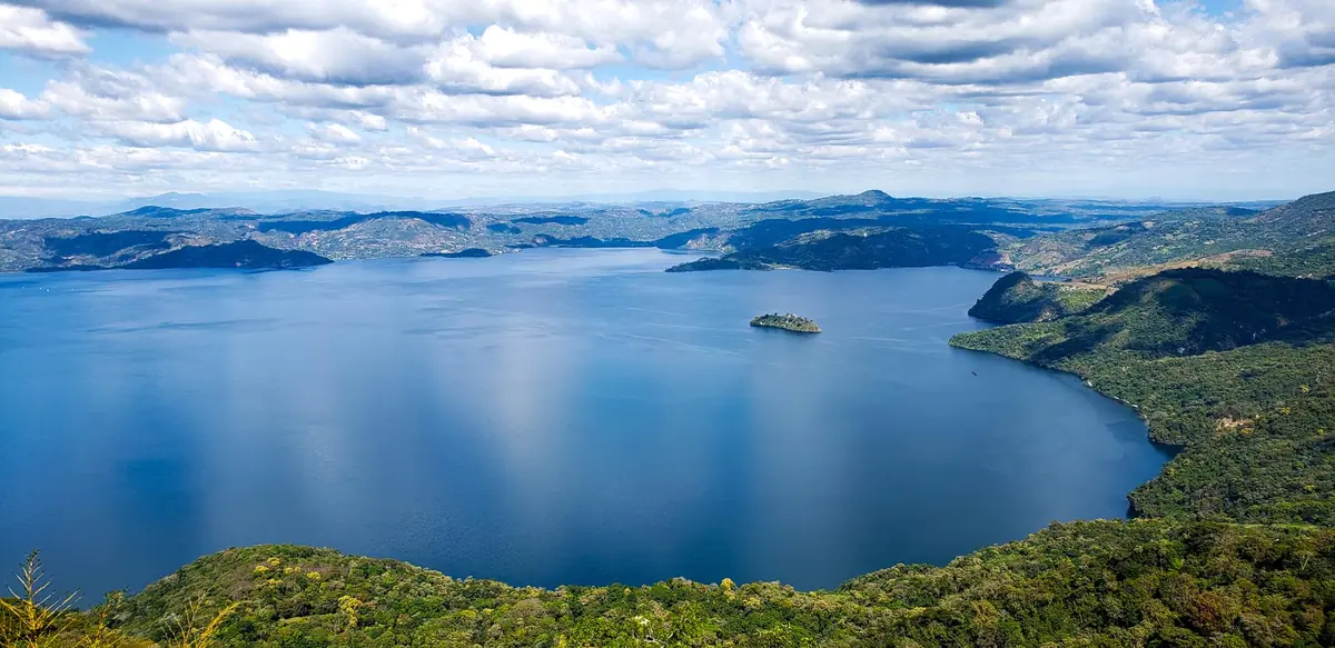
Lake Ilopango is a crater lake filling a caldera about 5 by 7 miles (8 by 11 km), roughly 10 miles (16 km) east of San Salvador, El Salvador. It reaches around 755–820 ft (230–250 m) deep. The caldera formed in the Tierra Blanca Joven eruption, dated by peer-reviewed research to about 431 CE. Its main visitor hub, the Turicentro Apulo, is roughly a 30-minute drive from the capital.
What Lake Ilopango Is (and Why a Lake Sits in a Volcano)
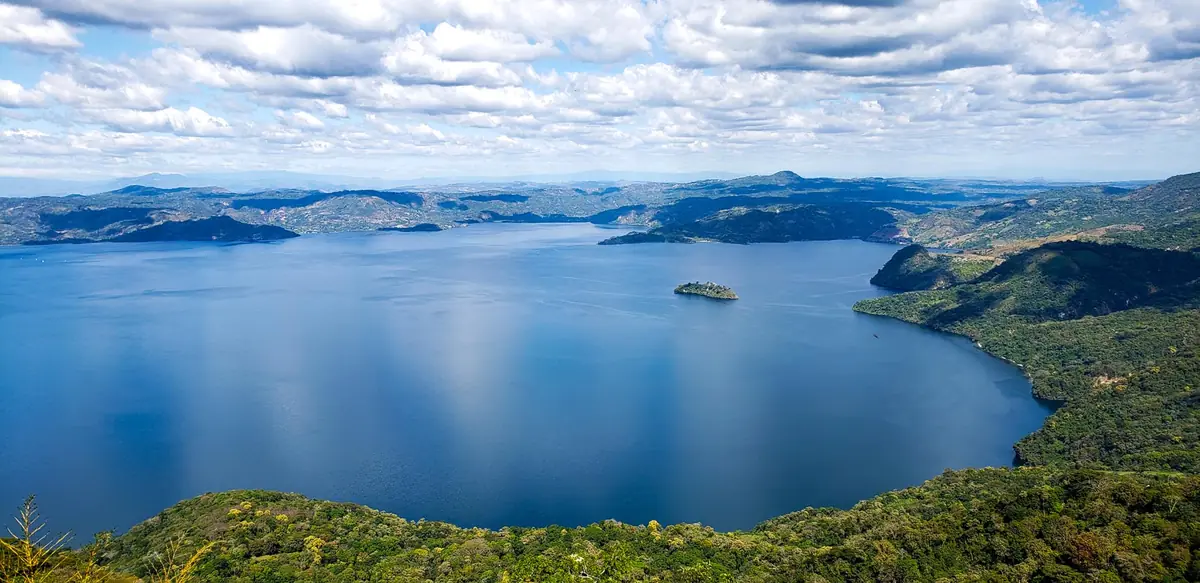
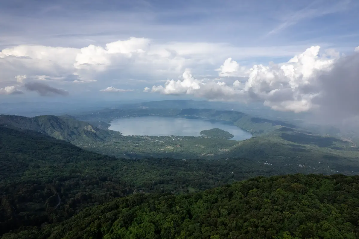
Lake Ilopango is a crater lake occupying a volcanic caldera on the borders of the San Salvador, Cuscatlán, and La Paz departments, immediately east of the capital. It covers about 28 square miles (72 km²), making it one of El Salvador’s largest lakes, with a scalloped rim rising 330 to 1,640 feet (100 to 500 m) above the water.
The name comes from the Nahuat word Xilopango — roughly, “valley of the corn cobs.” What pulls people in now is the geology under the surface: you’re looking at water sitting in the throat of a volcano that hasn’t finished its work.
Depth is where the numbers get slippery. Dive operators put it near 755 feet (230 m). Some travel sources say 815 feet (248 m). Frommers goes to 820 feet (250 m). Call it roughly 755–820 feet (230–250 m) — deep enough to rank among the deepest lakes in Central America whichever figure you trust.
You’ll also see it labeled both the country’s largest natural lake and its second-largest. Wikipedia lists it second; several travel sites call it first. The disagreement comes down to how you measure surface area against Lake Coatepeque, so don’t treat either label as settled.
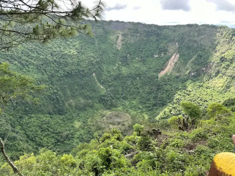
Water leaves the lake through the Jiboa River, which runs south to the Pacific. And visitors who reach the crater rim tend to describe the same thing: a soup-bowl effect, steep walls closing in around a sheet of water far below.
How the Caldera Formed — The Tierra Blanca Joven Eruption
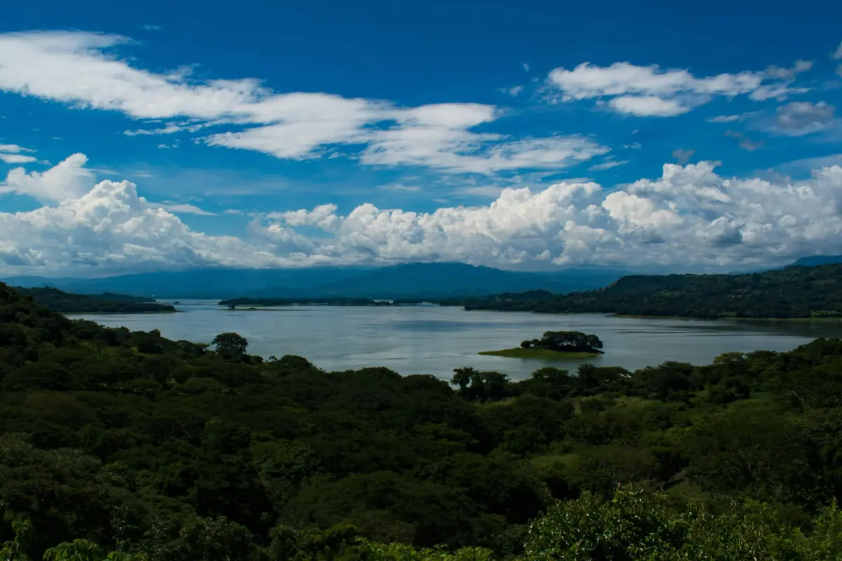
The caldera was blasted out by the Tierra Blanca Joven eruption, one of the largest volcanic events of the last few thousand years. Peer-reviewed research now dates it to about 431 CE — roughly a century later than the older date many guides still repeat, which changes the whole story.
The scale was enormous. Researchers estimate the eruption pushed out somewhere between 37 and 82 cubic kilometers of magma, with an eruption column that rose about 28 miles (45 km) into the sky. Ash from it turned up in a Greenland ice core more than 4,350 miles (7,000 km) away.
Closer to home, the effects were brutal. The blast rendered a zone within roughly 50 miles (80 km) uninhabitable for years, in some places decades, and devastated the early Maya settlements around it. Casualty figures you’ll see quoted online are not backed by a solid primary source, so treat any specific death toll with suspicion.
The system never fully switched off. Lava domes formed inside the caldera over time, and the last eruption — from late December 1879 into March 1880 — pushed up the Islas Quemadas, the “burnt islands” you can still boat out to.
Here’s the correction worth knowing. A popular story ties Ilopango to the 535–536 global cooling event, the so-called worst year to be alive. Older accounts, including some dive sites and travel pages, still repeat it. The revised 431 CE dating pulls the eruption back about a century, and the research concludes its climate reach was largely regional rather than planet-changing. Divers, meanwhile, still report sulfur bubbling up from vents on the bottom — proof the volcano is only resting.
How to Get to Lake Ilopango From San Salvador
The lake is close — about 10 miles (16 km) east of downtown San Salvador — but close and quick aren’t the same thing here.
- Distance: about 10 miles (16 km) east of San Salvador
- Driving time: roughly 20 to 50 minutes, depending on your start point and traffic
- By bus: route 15 from the Terminal de Oriente
- Turicentro Apulo coordinates: 13.70054, -89.07725
The catch is the access roads. Reviewers warn again and again that the final descent to the water is rough and poorly signed, and that a generic “Lake Ilopango” map pin can route you down an unpaved track to nowhere.
Pro Tip: Navigate to the Turicentro Apulo entrance or a named lakeside restaurant, not the lake itself. The generic pin is what sends drivers onto the bad roads.
Turicentro Apulo — Fees, Hours, and What’s There
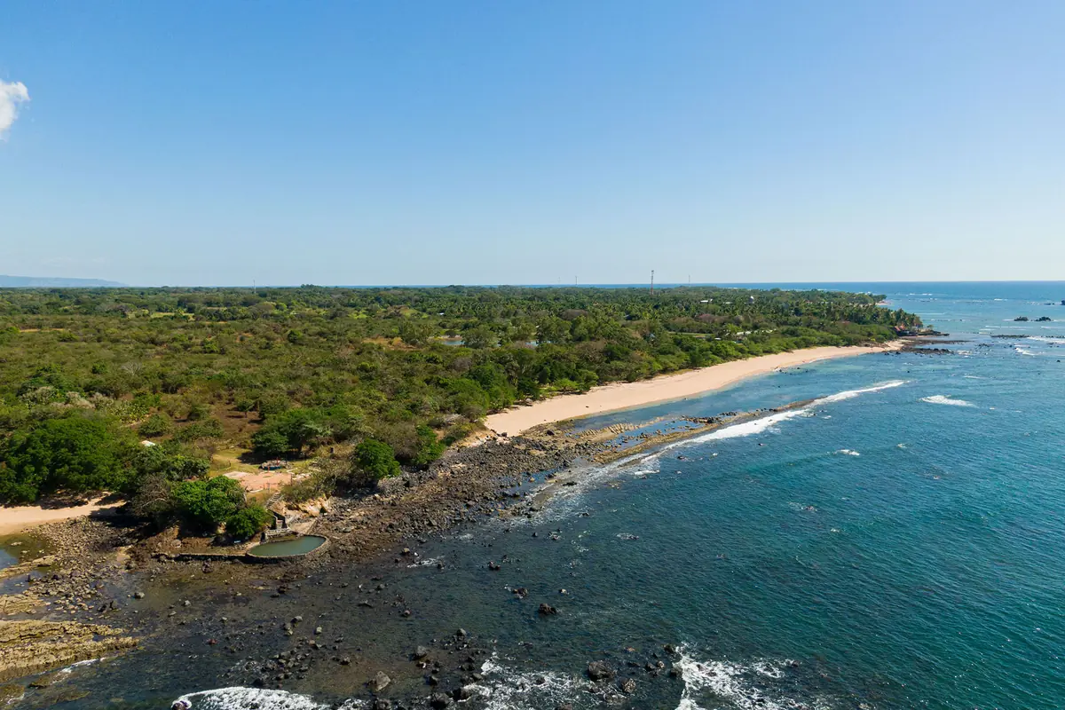
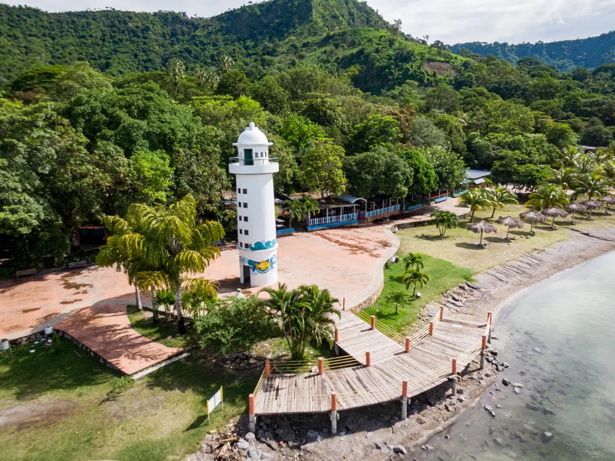
Turicentro Apulo is the default first stop — a state-run recreation park (managed by ISTU) on the northwestern shore, where the pools, boardwalk food stalls, and boat docks all sit together. Fees are modest and change over time, so treat these as ballpark:
- Entrance: about $1.50 for nationals, $3.00 for foreign visitors
- Parking: around $1.00
- Hours: daily, roughly 8:00 a.m. to 4:00 p.m.
- What’s there: swimming pools, picnic areas, a soccer field, changing rooms, restaurants, a lakeside boardwalk, and cabins for overnight stays
One traveler tip worth its own line: the hammock hustle.
Pro Tip: Hammock rental at the official entrance runs about $2 a day. Touts near the water have quoted visitors ten to twenty times that — one reviewer reported a $40-an-hour ask. Sort it out at the gate first.
Things to Do — Boats, Kayaks, and the Aquatic Tricycles
Almost everything here happens on or beside the water. These are the going rates, drawn from operator listings and visitor reports — quoted per boat or per unit, not per person:
| Activity | Typical price | Duration |
|---|---|---|
| Boat (lancha) tour | from about $15 | 30 min, up to ~10 people |
| Boat (lancha) tour | around $24 | 1 hour, ~5 people |
| Aquatic tricycle (Fun Zone) | about $5 | 30 min, two people |
| Kayak (kayak extremo) | about $5 | 20 min, two people |
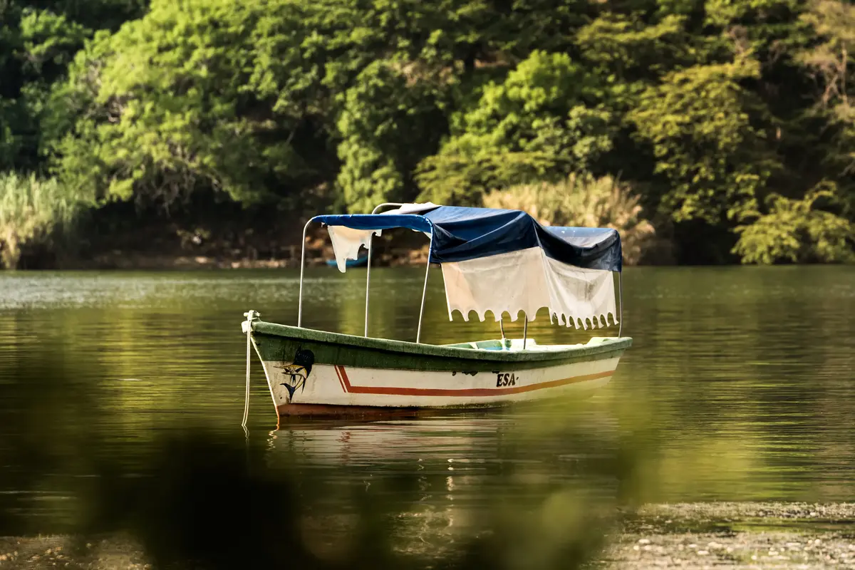
A boat tour is the classic outing. Operators run out to the lava-dome islets — Isla del Amor, Isla San Cristóbal, Isla de los Patos, Isla Portillón — and the price is for the whole lancha, so a group of four or five splits one fare. Agree on the route and the number before you push off.
If you’d rather stay on land, the Ruta Panorámica — the panoramic route around part of the rim — strings together viewpoints and lakeview restaurants where you can sit above the water instead of on it.
Diving an Active Caldera — The Christ Statue and Hot Vents
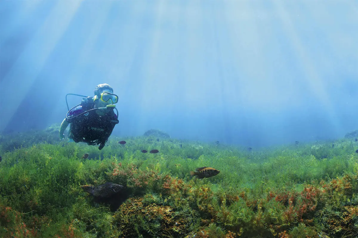
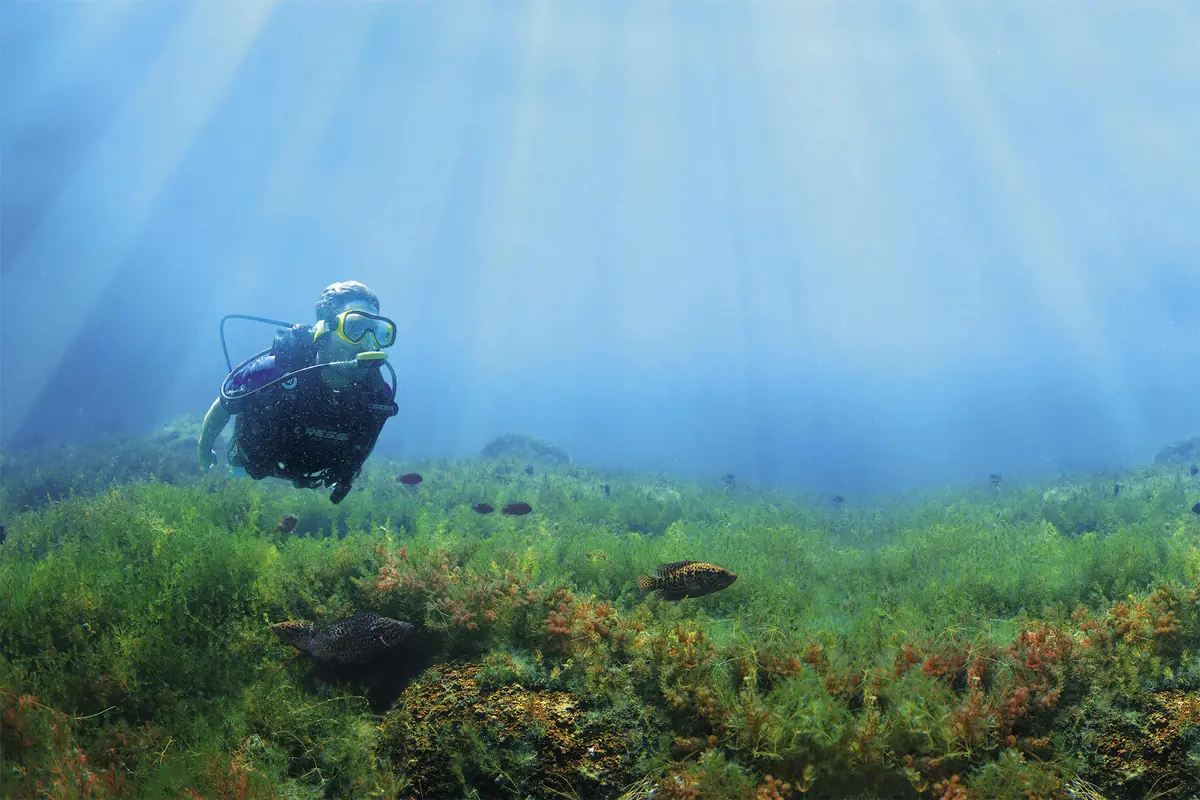
This is the reason to come if you dive. Ilopango is widely called El Salvador’s top dive site, and it’s a genuinely odd one: you drop into a live volcanic system, past submerged statues, toward vents that still leak sulfur.
- Christ the Redeemer statue: about 90–100 ft (27–30 m)
- Three Virgin Mary statues: about 60 ft (18 m)
- La Flumeroles hot vents (with sulfur deposits): about 80 ft (25 m)
- Plus wall dives and a feature divers call the “Black Hole”
A few practical notes change how you plan it. There’s no dive school at the lake, so you arrange everything in advance with an operator like El Salvador Divers or La Libertad Diving. This is altitude diving — the lake surface sits around 1,450–1,540 ft (440–470 m) — which affects your tables and computer settings. The water stays warm, roughly 79°F (26°C) at its coolest, and visibility improves in the dry season once the algae settles. You’ll want at least a PADI Open Water certification, though discovery dives are available for beginners.
Pro Tip: Book with an operator in San Salvador or La Libertad before you arrive, and say up front that it’s altitude diving so they can set your profile correctly. Nobody at the lakeshore will fit you out on the spot.
Can You Swim in Lake Ilopango? Water Quality and Safety, Honestly
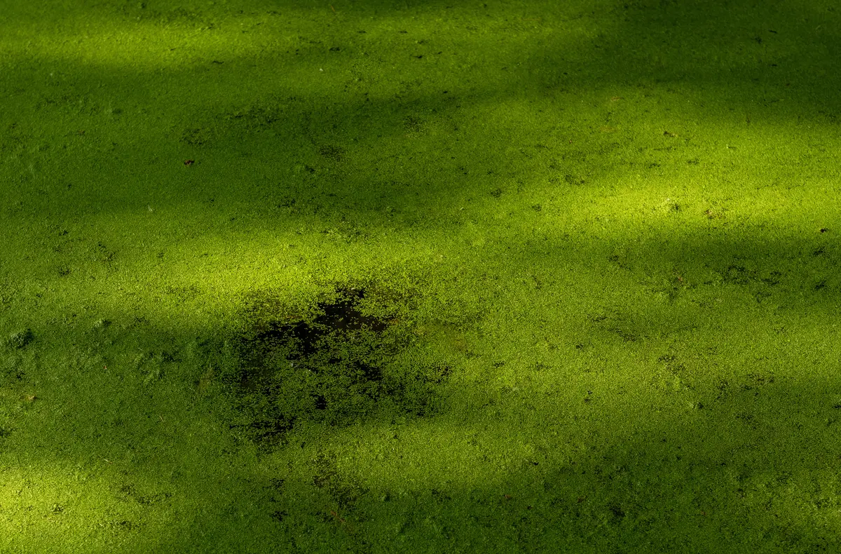
You can swim at the Turicentro Apulo, and locals do. But independent studies from the University of El Salvador have found arsenic, boron, and cyanobacteria at levels the researchers said made the water unfit even for recreation. Many visitors stick to the turicentro’s chlorinated pools instead.
The temperature isn’t the problem — the water is generally warm, around 79°F (26°C), though a few reviewers have found it cold depending on the season. The concern is what’s dissolved in it.
Researchers at the University of El Salvador concluded the water can’t be treated to drinking standard because arsenic and boron run several times over the limit for human consumption. An earlier government (MARN) study went further, reporting arsenic at close to 966 times its guideline value of 0.01 mg/L and boron roughly 20 times a manageable level. A university toxin lab later found that cyanobacteria had multiplied to the point where the water wasn’t suitable even for recreation. Fishing families and scientists around the lake say plainly that they don’t drink it.
Keep this in proportion. The findings are about ingesting the water and prolonged exposure, not a single dip. The turicentro is a guarded, active recreation area with chlorinated pools, and no health authority has posted a formal swimming ban. Plenty of people still get in the lake. The honest read: swim in the pools without a second thought, and think twice before spending an afternoon in the open water.
Wildlife and the Lake’s Fishing Communities
Below the surface, the lake still supports a working fishery. Tilapia and guapote tigre are the main catch, and the numbers aren’t small — one survey put guapote tigre landings around 139,000 lb (63,000 kg), with tilapia climbing from roughly 15,000 lb to 26,000 lb (7,000 to 12,000 kg) across a few years.
Divers report small convict cichlids and even freshwater sponges down deep, and the islets draw birdlife. On the human side, the fishing community of San Agustín, in San Pedro Perulapán, has worked these waters for generations. Fresh lake fish is a staple at the lakeside eateries — worth knowing that the people who catch it eat it, even as they steer clear of drinking the water.
Lake Ilopango vs. Lake Coatepeque — Which Should You Visit?
If you only have time for one crater lake near San Salvador, this is the real decision. Frommers takes a stance most guides avoid: it calls Ilopango overrated as a headline attraction unless you’re diving, and points visitors to Lake Coatepeque — about 35 miles (56 km) away — for cleaner surroundings and better restaurants.
There’s a fair counter, though. Ilopango is far closer to the capital, works as an easy half-day, and it’s the better dive by a wide margin. Here’s the honest split:
| Lake Ilopango | Lake Coatepeque | |
|---|---|---|
| Distance from San Salvador | ~10 mi (16 km) | ~35 mi (56 km) |
| Best for | Diving, a quick half-day | Scenery, dining, swimming |
| Water and setting | Active caldera; contamination flagged | Cleaner, more developed shore |
| Diving | El Salvador’s top site | Limited |
| Feel | Local, low-key, rougher access | More resort-style |
The short version: dive, and Ilopango wins outright. Want a relaxed lakeside day with a real swim and a good lunch, and Coatepeque is the smarter choice. Short on time out of the capital, and Ilopango’s proximity settles it.
Planning Your Trip — For US Travelers
Getting here from the US is straightforward. Fly into Monseñor Óscar Arnulfo Romero International Airport (SAL), about 45 minutes from San Salvador.
- Airlines: Avianca, United, American, and Volaris serve SAL
- Flight time: around 4.5 hours from southern US gateways
- Currency: the US dollar is official — bring small bills, and expect ATMs to be unreliable at times
- Entry: a tourist card is purchased on arrival
On safety, the picture has shifted a lot. El Salvador is rated Level 1, “Exercise Normal Precautions,” by the US State Department — its lowest tier, the same as most of Western Europe — and the homicide rate has fallen to around 1.3 per 100,000, among the lowest in the Americas.
That said, a few honest caveats matter for a lake day:
- A State of Exception remains in force, and the State Department notes some US citizens have been detained under it. Carry ID and steer clear of anything that could be misread.
- US government staff are barred from intercity travel at night and from public buses. Travel guidance flags avoiding after-hours movement through peripheral municipalities — including the municipality of Ilopango, Soyapango, and Ciudad Delgado.
- Go during the day, and use a rideshare or a trusted driver rather than public buses.
Pro Tip: The town of Ilopango and the lake share a name but aren’t the same place. The after-hours caution is about the urban municipality; the lake is a daylight destination. Visit in the morning and arrange your own transport.
Frequently Asked Questions
How Was Lake Ilopango Formed?
Lake Ilopango fills a caldera created by the Tierra Blanca Joven eruption, one of the largest volcanic events of the last few thousand years (roughly 37–82 cubic kilometers of magma). Peer-reviewed research dates it to about 431 CE. The caldera later filled with water, and smaller eruptions built lava-dome islands inside it.
How Deep Is Lake Ilopango?
It runs roughly 755–820 ft (230–250 m) deep — among the deepest lakes in Central America. Published figures vary, from about 755 ft (230 m) cited by dive operators to 815–820 ft (248–250 m) in travel sources. The lake fills a caldera about 5 by 7 miles (8 by 11 km), immediately east of San Salvador.
Can You Swim in Lake Ilopango, and Is It Safe?
You can swim at the Turicentro Apulo, and locals do. But University of El Salvador studies have found arsenic, boron, and cyanobacteria at levels the researchers said made the water unfit even for recreation. Many visitors use the turicentro’s chlorinated pools instead of the open lake.
How Do You Get to Lake Ilopango From San Salvador?
It’s about 10 miles (16 km) east of San Salvador — roughly a 30-minute drive, up to about 50 minutes depending on your start point. By public transit, take bus route 15 from the Terminal de Oriente. Access roads are rough, so navigate to the Turicentro Apulo or a named restaurant, not a generic map pin.
Did Lake Ilopango Cause the “Worst Year to Be Alive” in 536?
Probably not. Earlier theories linked the eruption to the 535–536 global cooling, but research dates the Tierra Blanca Joven eruption to about 431 CE — roughly a century earlier — and finds its climate reach was largely regional. It did devastate the early Maya settlements nearby.
Is Lake Ilopango Worth the Trip?
If you dive, yes — few places let you drop into a live caldera past submerged statues and steaming vents. If you’re after a swim-and-relax lake day, temper the expectation: the open water carries real contamination flags, and Coatepeque is the cleaner, prettier call for that. As a cheap half-day of geology and a boat ride out of San Salvador, Ilopango earns its spot.
TL;DR: Lake Ilopango is a deep crater lake 10 miles (16 km) east of San Salvador, formed by an eruption around 431 CE — not the 536 event most guides cite. Come for diving or a cheap half-day boat trip, swim in the turicentro pools rather than the open lake (studies flag arsenic, boron, and cyanobacteria), and plan a daytime visit with your own transport.
Have you dived the caldera or made the drive down to Apulo? What did the boat operators quote you, and was the water clear or green the day you went? Drop it in the comments — real numbers help the next traveler decide.