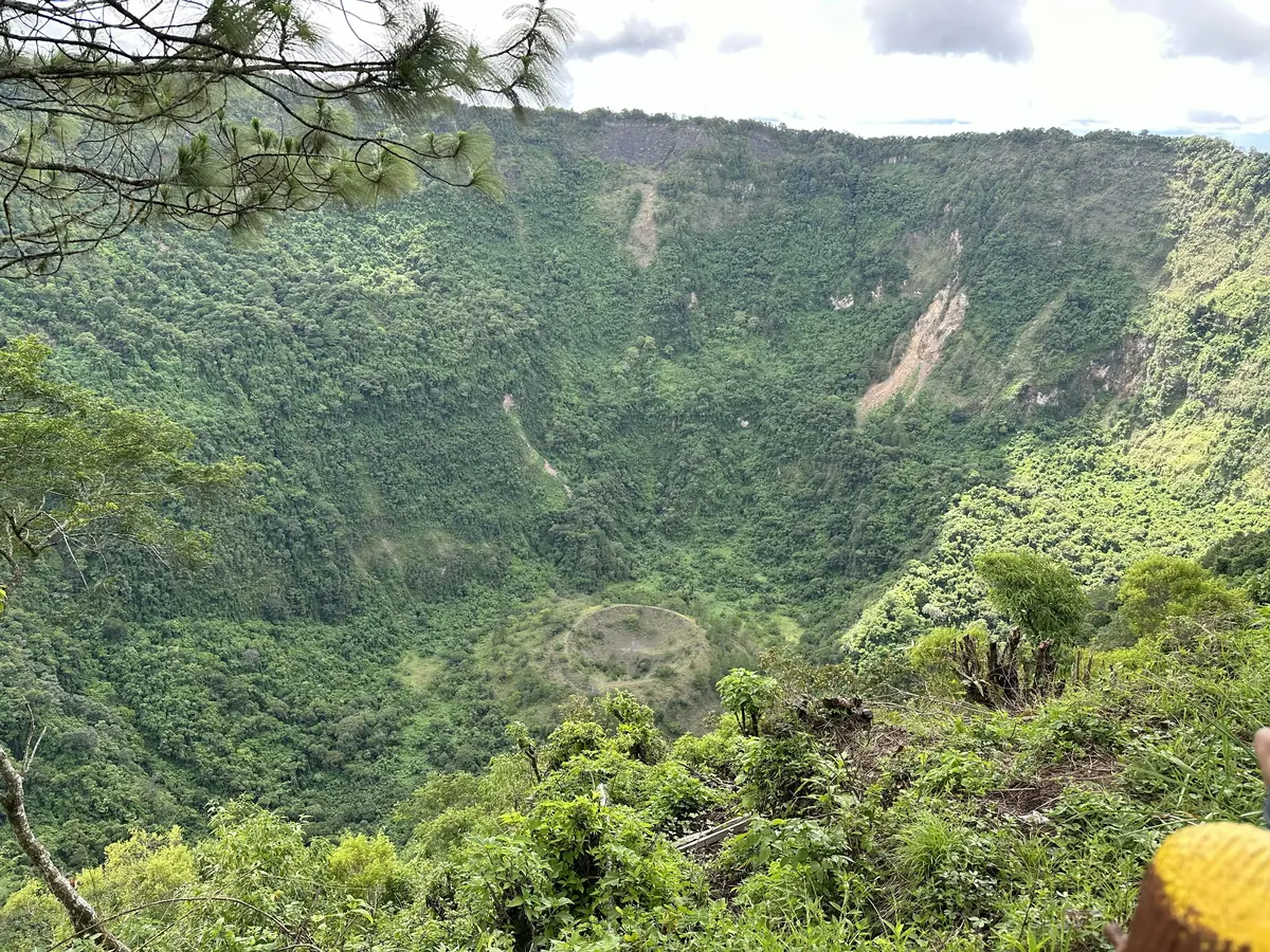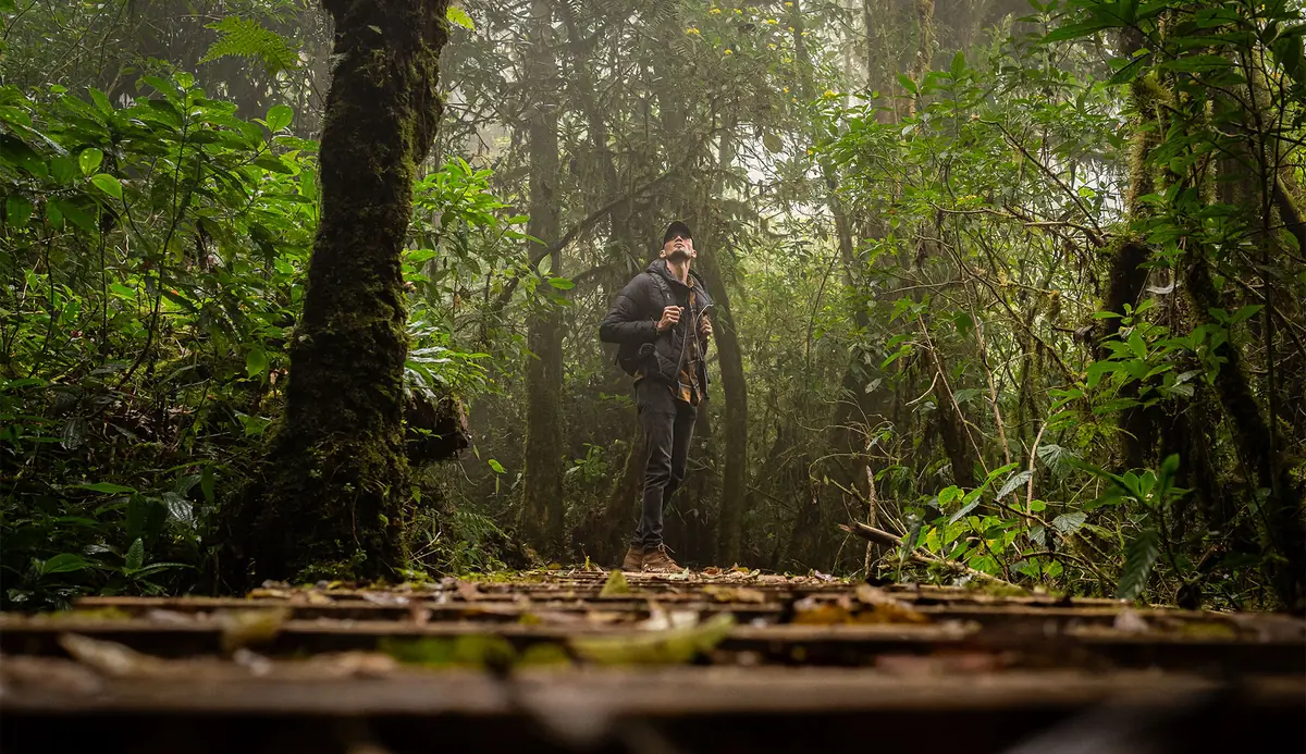
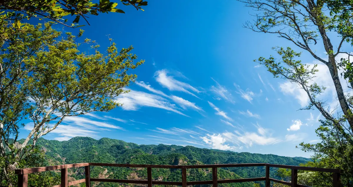
Most people who fly into El Salvador head straight for the surf towns or the volcano crater lakes. Far fewer make the drive to the western corner of the country, where the coastal plain ends and a wall of green forest climbs toward Guatemala. That forest is El Imposible, and it is the wildest place in the country.
It is also not a park you can wander into. You need a permit arranged by email days ahead, a guide assigned at the gate, and an early alarm, because the entrance closes to new arrivals at 9:00 a.m. This guide covers what it costs, how the permit actually works, which trails earn the effort, and what to expect once you are on the ground.
El Imposible National Park at a Glance
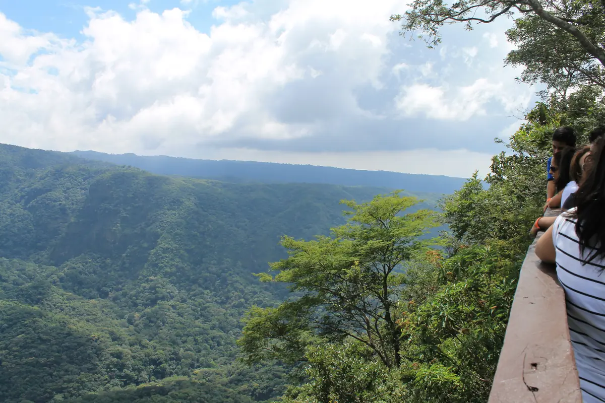
El Imposible National Park is the largest national park in El Salvador, covering about 14.7 square miles of protected forest in the western department of Ahuachapán, roughly 75 miles from San Salvador. It holds the country’s densest concentration of plant and animal life. Visitors need an advance permit from the environment ministry and a local guide.
The park sits inside the Apaneca-Ilamatepec coastal mountain range, spread across the municipalities of San Francisco Menéndez and Tacuba. Elevation runs from about 820 feet on the lower slopes to roughly 4,675 feet at the high ridges, which is why you can start a hike sweating in humid dry-forest heat and finish it in cool wind at the top. Coordinates for the park are 13.84167° N, 89.95750° W.
According to Wikipedia, the park was established on January 1, 1989. Other sources point to an executive decree dated March 17, 1989 and published that June, so treat the founding date as early 1989 rather than a single settled day. What matters more for planning: management. Many older articles still credit SalvaNATURA, the Salvadoran conservation nonprofit that co-managed the park for years. Today the Ministerio de Medio Ambiente y Recursos Naturales (MARN) administers it, and MARN is who you email for permission to enter.
Quick facts
- Location: Ahuachapán department, western El Salvador
- Size: about 14.7 square miles (38.2 square kilometers), the largest national park in the country
- Elevation range: roughly 820 to 4,675 feet
- Coordinates: 13.84167° N, 89.95750° W
- Managed by: MARN (Ministry of Environment and Natural Resources)
- Entrance fee: $6 for foreign visitors, $3 for Salvadoran nationals
- Permit: required in advance, by email
- Guide: required, roughly $10 per group
- Entry window: 7:30 to 9:00 a.m.
- Main entrance: San Benito, reached via Cara Sucia
- Best season: November through April
Why the Park Is Called “El Imposible”
The name comes from a gorge, not from the hiking. For generations, farmers hauling coffee from the highlands down to the Pacific ports had to cross a narrow ravine on this route. Men and pack mules fell and died there often enough that the crossing earned its reputation: impossible.
In 1968 a bridge finally went in over the gorge. A plaque on it records the year and states, in translation, that the crossing is no longer impossible. Guides still stop groups there, and it is one of the few spots in the park where the human history is as interesting as the biology.
That coffee-mule history explains a lot about what you see today. Much of the protected area was once coffee plantation and cattle pasture, abandoned as the economics changed and now growing back into real forest. Some of the “wilderness” you hike through is second-growth reclaiming old farmland, which is part of the reason the recovery story here is worth telling.
Biodiversity and Wildlife: What Actually Lives Here
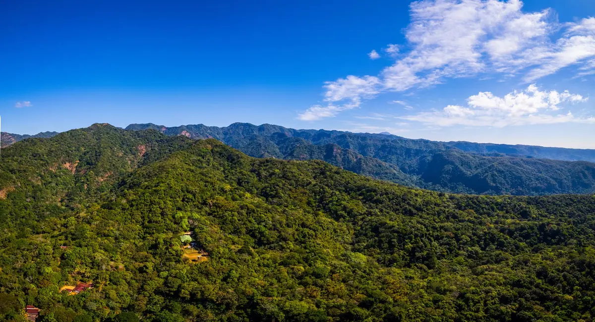
El Imposible protects the richest concentration of biodiversity in El Salvador, a country where most original forest is long gone. Counts vary by source, but the general picture is consistent: several hundred plant species, more than 285 birds, around 100 mammals, and a butterfly population in the thousands.
On plants, SalvaNATURA has documented 984 vascular plant species, while other summaries cite 500 or more. Tree species number around 400, two of which were new to science when described. Herpetofauna comes in at roughly 53 amphibians and reptiles. Butterflies are the wild card: estimates run past 5,000 species, which is part of why the park draws entomologists as well as birders.
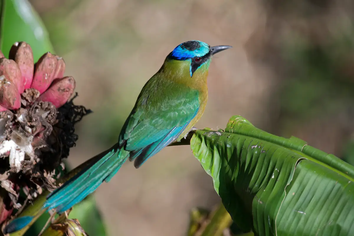
Birds are the main draw for most visitors. The king vulture, known locally as the zopilote rey, is the headline species, a heavy white-and-black scavenger with a lurid orange head that rides thermals over the ridges. You may also see the turquoise-browed motmot with its racket-tipped tail, the great curassow crashing through undergrowth, and the black-crested eagle. The Cerro El León trail is generally considered the best birding route because it climbs through several forest zones on the way up.
Mammals are harder. The park is home to ocelot, puma, oncilla (called tigrillo locally), agouti, coati, collared peccary, and tayra, along with wild boar. Realistically, you will hear far more than you see. Guides read tracks in the mud near the river crossings, and the honest expectation for a single daytime hike is birds, butterflies, agoutis, and maybe a troop of coatis. Staying overnight at the ecolodge improves your odds considerably, because most of the interesting mammals move at dusk and after dark.
One small thing worth watching for: the tepemechín, a freshwater fish that lives in the park’s rivers and only tolerates clean water. When guides point it out in a pool at Los Enganches, it is a water-quality report, not just a fish.
The Best Trails in El Imposible
Four main routes leave from the Mixtepe visitor center near the San Benito entrance. All of them require a guide, and your guide will help you pick based on your fitness and how much daylight you have left after the permit check-in.
| Trail | Distance (round trip) | Difficulty | Plan on | Highlight |
|---|---|---|---|---|
| Mirador El Mulo | about 1.4 miles | Easy | 1 to 1.5 hours | Interpretive signs, overlook above the Río Guayapa valley |
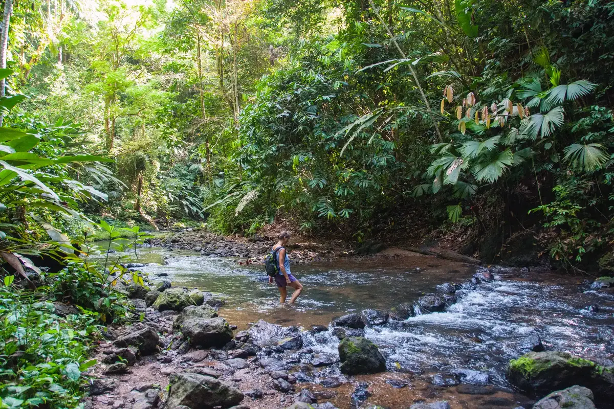
| Los Enganches | about 4.3 miles | Moderate | 3 to 4 hours | River confluence with swimming holes |
| Piedra Sellada | about 2.5 to 5 miles | Moderate | 2.5 to 4 hours | Petroglyph panel beside the Río Venado canyon |
| Cerro El León | about 5 miles | Hard | 5 to 6 hours | Summit views toward the Pacific and Guatemala |
Mirador El Mulo
The short interpretive walk from the visitor center, and the right call if you arrive late, have kids along, or are not confident on steep, loose ground. Signs along the way cover the forest types and the park’s recovery from farmland. The overlook itself opens onto the Guayapa valley, and it frequently fogs in during the morning, which is either a disappointment or the best photo of your trip depending on timing.
Los Enganches
The favorite of most day visitors. The trail drops to the point where the Río Guayapa and Río Venado meet, and the pools there are cold, clear, and deep enough to swim. Some sources describe the route as roughly 3.5 miles each way; in practice, expect around 4.3 miles round trip with a real climb on the return. You pass Mirador El Mulo and Mirador Madre Cacao on the way, both good spots to scan for agoutis and coatis.
Piedra Sellada
The archaeological one. A rock panel above the Río Venado carries more than 100 carved figures, and there is a swimming spot nearby. Dating is genuinely disputed: some sources place the petroglyphs between AD 600 and 900, others in the Postclassic period around AD 1500. Your guide will likely give you one version confidently. The honest answer is that nobody has settled it.
Cerro El León
The hardest hike in the park and the one serious hikers come for. The circuit runs roughly 5 miles, though guides sometimes extend it closer to 6, climbing to a summit near 3,650 feet, dropping to the Río Ixcanal, then climbing again over the Montaña de los Águilares. On a clear morning the top gives you the Pacific in one direction and Guatemala in the other. AllTrails lists a related route, Visitor Center to Cerro El León via El Mulo Lookout, at 5.6 miles with 1,824 feet of elevation gain, which is a fair benchmark for what your legs are in for.
Fit hikers with a full day sometimes link all three main trails into a loop of roughly 10 miles. Discuss it with your guide at check-in, not at noon.
Fees, Permits, and Guides: How Entry Actually Works
Entry costs $6 for foreign visitors and $3 for Salvadoran nationals, and you cannot simply show up. MARN requires an advance permit request by email, and a local guide is assigned at the gate for roughly $10 per group.
| What you pay | Cost |
|---|---|
| Foreign visitor entrance | $6 |
| Salvadoran national entrance | $3 |
| Private school or university student with ID | $1 |
| National school student with ID | $0.50 |
| Parking (if driving) | about $1 |
| Guide, per group | about $10 |
These figures match MARN’s published services page and Salvadoran national press coverage. A lot of the travel content still circulating online quotes a $1 entrance fee, which has not been current for some time. Rates can change, so confirm the amount when you send your permit request.
The MARN permit, step by step
- Email [email protected] several days before your visit. There is no published lead-time requirement, so give yourself a cushion.
- Include the date you want to visit, the purpose of the visit, and a list of everyone in your group.
- Flag any minors and any seniors in the group, since MARN asks for this specifically.
- Follow up by phone if you do not hear back. Park coordination numbers reported in late 2025 are 7375-0422, 7751-8552, 7720-7726, and 7856-3599.
- Bring photo ID for everyone listed, plus cash.
There is no confirmed online booking form and no verified WhatsApp line. Email, phone, and in-person requests are the reliable channels.
Hours
The entry window is 7:30 to 9:00 a.m. Arrive after nine and you may not get in at all. Campers must be through the gate by 3:00 p.m. One press report lists general hours of 7:30 a.m. to 3:30 p.m., so sources do conflict; plan around the 7:30 to 9:00 a.m. window and you will be fine either way. This early cutoff catches a lot of travelers off guard, especially anyone driving from El Tunco or Santa Ana, which means leaving in the dark.
Guides
Your guide is assigned when you arrive at San Benito. There are about a dozen guides working the park, they are drawn from the surrounding communities, and they typically speak Spanish only. Download an offline translation app if your Spanish is thin. The roughly $10 hiking fee goes directly to the guide while the entrance fee funds park maintenance.
Here is the part that matters: the guides are not salaried. That $10 split across a group is the day’s income. Tip well, and tip in cash.
Money
El Salvador uses the US dollar, so no currency exchange is needed. You may have read about the country’s bitcoin experiment; it has no bearing on your visit. Bring small bills. There is no ATM anywhere near the park entrance, and the last reliable machines are back in Sonsonate or Ahuachapán.
Tacuba and the Waterfall Jumping Tour
Tacuba is the northern gateway to the park area, but there is no official park entrance on that side. Travelers who base themselves in Tacuba go out with Manolo González and Imposible Tours, run from Hostal de Mamá y Papá, on a waterfall jumping trip that has become one of the better-known adventure days in Central America.
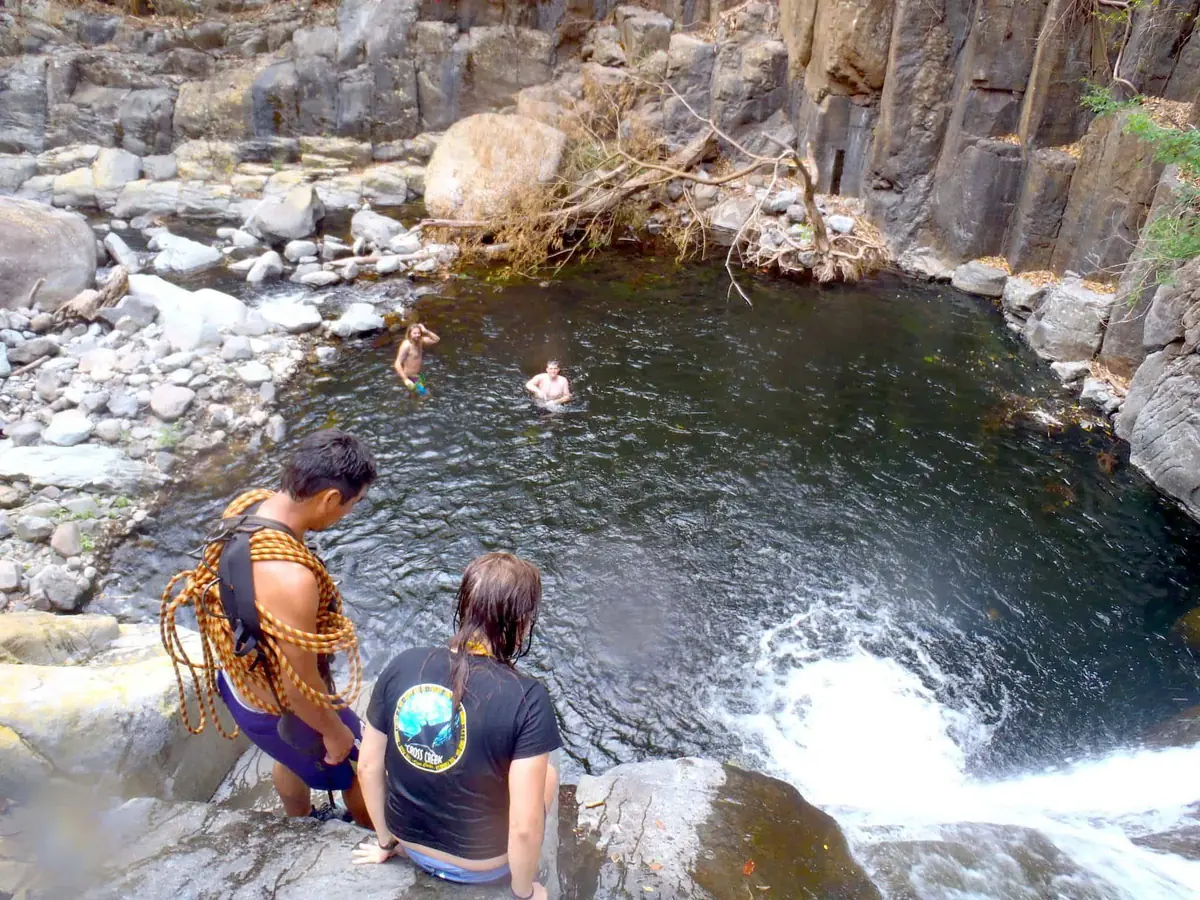
The tour runs 6 to 8 hours. It starts with about an hour standing in the back of a pickup truck grinding up the mountain, followed by a steep 45-minute descent through coffee plantations to reach the water. From there you work downstream through a chain of waterfalls, jumping some and rappelling others. Jump heights run roughly 20 to 40 feet, with smaller options at most of them. Lunch is a basic picnic. Then comes the return climb, which is the part nobody warns you about properly.
Cost has historically run around $20 to $25 per person including entrance, though prices move. Confirm before you commit.
Should you do it?
Plenty of travelers call this the highlight of their entire trip to El Salvador. It is also demanding and genuinely remote. You are hours from a hospital, the guides speak limited English, and safety briefings are informal by American standards. If you are not a confident swimmer or you have a bad knee, say so at the start rather than at the top of a 40-foot drop.
One more thing to know: a TripAdvisor reviewer has alleged that the operator’s pricing does not reflect what the guides themselves take home. That claim is not independently verified, but it is reasonable to confirm the price up front and to ask that your money reach the guides who take you down the river.
San Benito or Tacuba?
| San Benito entrance | Tacuba side | |
|---|---|---|
| Best for | Hiking, birding, camping | Waterfall jumping, adrenaline |
| Permit | MARN email, arranged by you | Handled by the tour operator |
| Typical cost | $6 entry plus about $10 guide | About $20 to $25 per person |
| Fitness needed | Moderate | High |
| Time required | Half day to full day | 6 to 8 hours |
| Swimming | Los Enganches, Piedra Sellada | Multiple waterfall pools |
| Access | Cara Sucia, then 8 miles of dirt road | Pickup from Tacuba |
Travelers with two days sometimes do both. They are different experiences that happen to share a mountain.
How to Get There from the US
Fly into San Salvador’s Óscar Arnulfo Romero International Airport (SAL), the only practical international gateway. US citizens do not need a visa. A $12 tourist card is issued on arrival, and your passport should have at least six months of validity remaining.
Driving
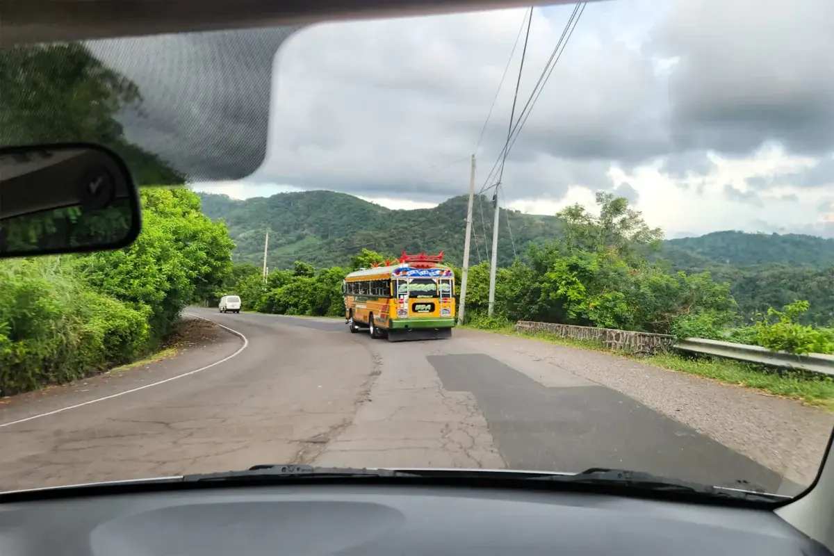
From San Salvador, the drive runs about 2 to 2.5 hours. Take CA-1 west, then the coastal highway CA-2 toward La Hachadura, and turn inland just east of Cara Sucia. From that turnoff it is roughly 8 miles of unpaved road climbing to San Benito, and that last stretch is the whole story: laid stone in places, packed dirt in others, rutted after rain. High clearance or a 4×4 is the sensible choice. A careful driver in a sedan can make it in the dry season, though at least one traveler has reported picking up a flat halfway up.
Approximate drive times from other bases:
- El Tunco or El Zonte: plan on about 2 hours, leaving around 5:00 a.m. to make the entry window
- Santa Ana: roughly 2 to 2.5 hours
- Ataco or Juayúa on the Ruta de las Flores: around 2 hours
- Tacuba: under an hour to the tour meeting point, though not to San Benito
Use Waze, which is what Salvadorans use and which handles the country’s road closures better than the alternatives. Download offline maps before you leave pavement, since signal drops out well before the gate. Do not drive between cities after dark, which remains standard US Embassy guidance.
Public transportation
It can be done, and it is cheap, but it requires patience. Take the 259 bus from Sonsonate to Cara Sucia, about 90 minutes for under $2. From Cara Sucia, a bus or pickup truck runs up to San Benito, departing roughly at 11:00 a.m. and 2:00 p.m. for about $1. Return departures leave around 5:30 a.m. and 1:30 p.m. Note the mismatch: the 11:00 a.m. departure arrives after the entry window closes, so overnighting at the ecolodge or camping is effectively required if you are relying on the bus.
Tours and transfers
Day tours and private transfers run from El Tunco, El Zonte, and San Salvador. One TripAdvisor reviewer reported paying around $60 per person including transportation. For a group of three or four, a private driver often works out similar per head and lets you set your own departure time.
Where to Stay
Sleeping inside or near the park is the single best upgrade to the experience, mostly because it solves the 7:30 a.m. problem and puts you on the trail when animals are actually moving.
At the park
Hostal El Imposible is a community-run ecolodge near the San Benito entrance, with cabins, solar power, and a restaurant where you order meals in advance rather than showing up hungry. Cell signal is unreliable, so expect slow replies to booking emails and plan accordingly. Rates have historically run around $30 per cabin for two people, though that figure is old enough to warrant checking.
Three designated camping areas sit within walking distance of the visitor center, with toilets and grills. You need to be inside the gate by 3:00 p.m. to camp.
In Tacuba
Hostal de Mamá y Papá is the base for the waterfall tour and the budget option in the area, with dorm beds historically around $10 and doubles near $25. It is a social place, and the tour desk is right there.
Nearby towns
Ataco, Juayúa, and Apaneca along the Ruta de las Flores offer boutique hotels, coffee farm stays, and actual restaurants, at the cost of an early-morning drive. Barra de Santiago has eco-lodges near the mangroves on the coast. Santa Ana and San Salvador work as larger bases with more choice, though both add driving time.
All the prices above are historical. Confirm current rates when you book, and reserve cabins at the same time you request your MARN permit.
When to Go
The dry season, November through April, is the better window for most travelers. Trails are firm, the access road is passable in a regular car, river crossings are straightforward, and the views from Cerro El León are clear more often than not. Butterfly activity peaks roughly January through March.
The rainy season, May through October, has real advantages and real costs. The forest is at its greenest, the waterfalls run hard, and you will have the place close to yourself. Against that: slick trails on steep ground, rivers that rise fast, and afternoon storms that can close in visibility. Flash flooding is the specific concern on the Tacuba waterfall tour, where you spend the day in a drainage. Operators cancel for good reason.
Weekdays are quiet. Weekends bring 150 to 200 visitors, most of them Salvadoran families, which changes the feel of the trails considerably. If you want the forest to yourself, go Tuesday.
Temperature varies more with elevation than with season. It is hot and humid at the lower trailheads and noticeably cooler on the high ridges, so a light layer in the pack is worth the space.
What to Pack
Pack light, but do not skip these:
- Hiking shoes or trail runners with real grip. The stone and clay get slick, and the descents are steeper than the distances suggest.
- At least two quarts of water per person, more for Cerro El León.
- Insect repellent.
- Sun protection: hat, sunscreen, sunglasses. The miradors are exposed.
- Small US bills for the entrance, guide, tip, and parking. No ATMs nearby.
- A swimsuit and a quick-dry towel if Los Enganches or Piedra Sellada is on the plan.
- Offline maps downloaded before you lose signal.
- A basic first-aid kit with blister care.
- Snacks. There is no food on the trails, and the ecolodge restaurant needs advance notice.
Phone signal is patchy to nonexistent inside the park. Tell someone your plan before you go in.
Is El Imposible Safe? An Honest Assessment
The US State Department currently rates El Salvador at Level 1, Exercise Normal Precautions, in an advisory dated April 8, 2025. That is the lowest of the four levels, the same category as Japan or Iceland, and a significant move up from the Level 2 and Level 3 ratings the country carried for years. Secretary of State Marco Rubio said at the time that gang activity, violent crime, and murders in the country had dropped significantly.
The numbers behind that shift are dramatic. Per the Congressional El Salvador Caucus in August 2024, the homicide rate fell from about 104 per 100,000 people in 2015 to 2.4 in 2024, following a mass-incarceration campaign that jailed more than 75,000 alleged gang members under a state of exception that suspends certain civil liberties. That policy remains controversial internationally, and reasonable people disagree about it. For visiting purposes, the practical result is that solo travel and solo female travel in El Salvador are now widely considered fine with ordinary precautions.
The risks at El Imposible are not crime-related. They are:
- Venomous snakes, particularly the fer-de-lance (barba amarilla). Watch where you put your hands and feet, and stay behind your guide.
- River crossings and flash floods, especially in the rainy season.
- Heat exhaustion on the lower trails, which is the most common problem guides deal with.
- Remoteness. Evacuation from Cerro El León or the Tacuba waterfalls is measured in hours, not minutes. There is no cell service to call for help.
A guide mitigates most of this, which is a decent argument for the requirement rather than against it. Off the trail, follow the standard advice against driving between cities at night, and keep valuables out of sight in parked cars at the trailhead.
Itineraries and Nearby Stops
One day
Book a day tour from El Tunco, El Zonte, or San Salvador, or drive yourself out at 5:00 a.m. Do Los Enganches or Mirador El Mulo, swim, eat, and drive back. It works, but it is a long day in the car for a few hours in the forest.
Two days
The better version. Sleep at the ecolodge or camp inside the park. Hike Los Enganches in the afternoon, take a night walk with your guide for the nocturnal species, then start Cerro El León at first light when birding is at its best. Alternatively, split your two days between San Benito and the Tacuba waterfall tour.
Inside a longer El Salvador trip
El Imposible fits naturally into a 7 to 10 day loop through the west of the country. Pair it with the Ruta de las Flores towns of Ataco, Juayúa, and Apaneca, the Santa Ana Volcano crater hike, Lake Coatepeque, the Tazumal ruins near Chalchuapa, and the surf breaks at El Tunco and El Zonte.
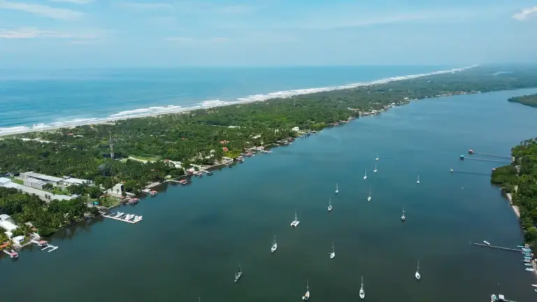
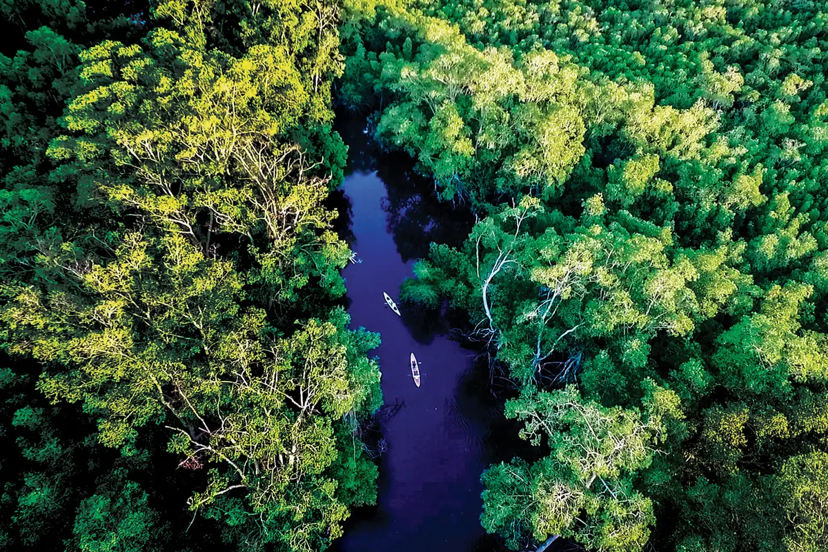
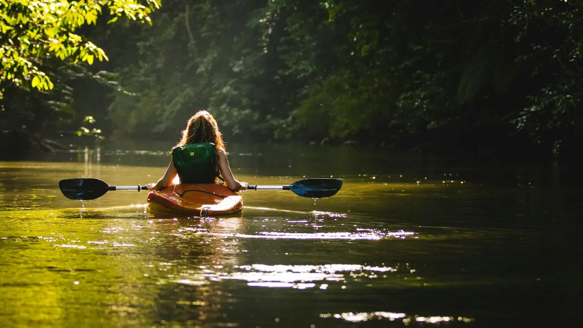
The strongest pairing is Barra de Santiago. The rivers that drain El Imposible feed that mangrove estuary on the coast, so hiking the watershed one day and kayaking its outlet the next connects the two places in a way most itineraries miss. Los Cóbanos, with the only rocky reef on El Salvador’s coast, is another short hop.
Traveling Here Responsibly
This park exists because people fought for it. SalvaNATURA managed it for years before MARN took over administration, and the recovery has been real: old coffee plantations and cattle pasture across the protected area are growing back into forest that now shelters ocelots and king vultures.
The community angle matters too. Rangers and guides come from the surrounding villages, and guide income depends entirely on visitors showing up and tipping. Hiring locally is the mechanism that makes protecting the forest more valuable than clearing it.
Practical rules while you are there: stay on the marked trails, never use soap or shampoo in the rivers, pack out everything you carry in including fruit peels, keep your distance from wildlife rather than baiting it closer for a photo, and buy your meals and lodging locally rather than bringing everything from the city.
Who El Imposible Is For, and Who It Isn’t
Come here if you like real trails, if you would rather see one ocelot track than a dozen roadside viewpoints, if you are a birder, or if jumping off a waterfall sounds like a good Tuesday. The park rewards effort more than almost anywhere else in El Salvador.
Think twice if you have mobility limitations, since even the short interpretive trail crosses rough ground and the access road is punishing. Young children will struggle on Los Enganches and Cerro El León, though Mirador El Mulo suits families fine. Travelers who want guaranteed wildlife sightings, English-speaking guides, or polished visitor infrastructure will be happier at Cerro Verde or Walter Thilo Deininger.
For accessibility questions, contact the park administration through MARN well ahead of your visit rather than assuming accommodations exist on site.